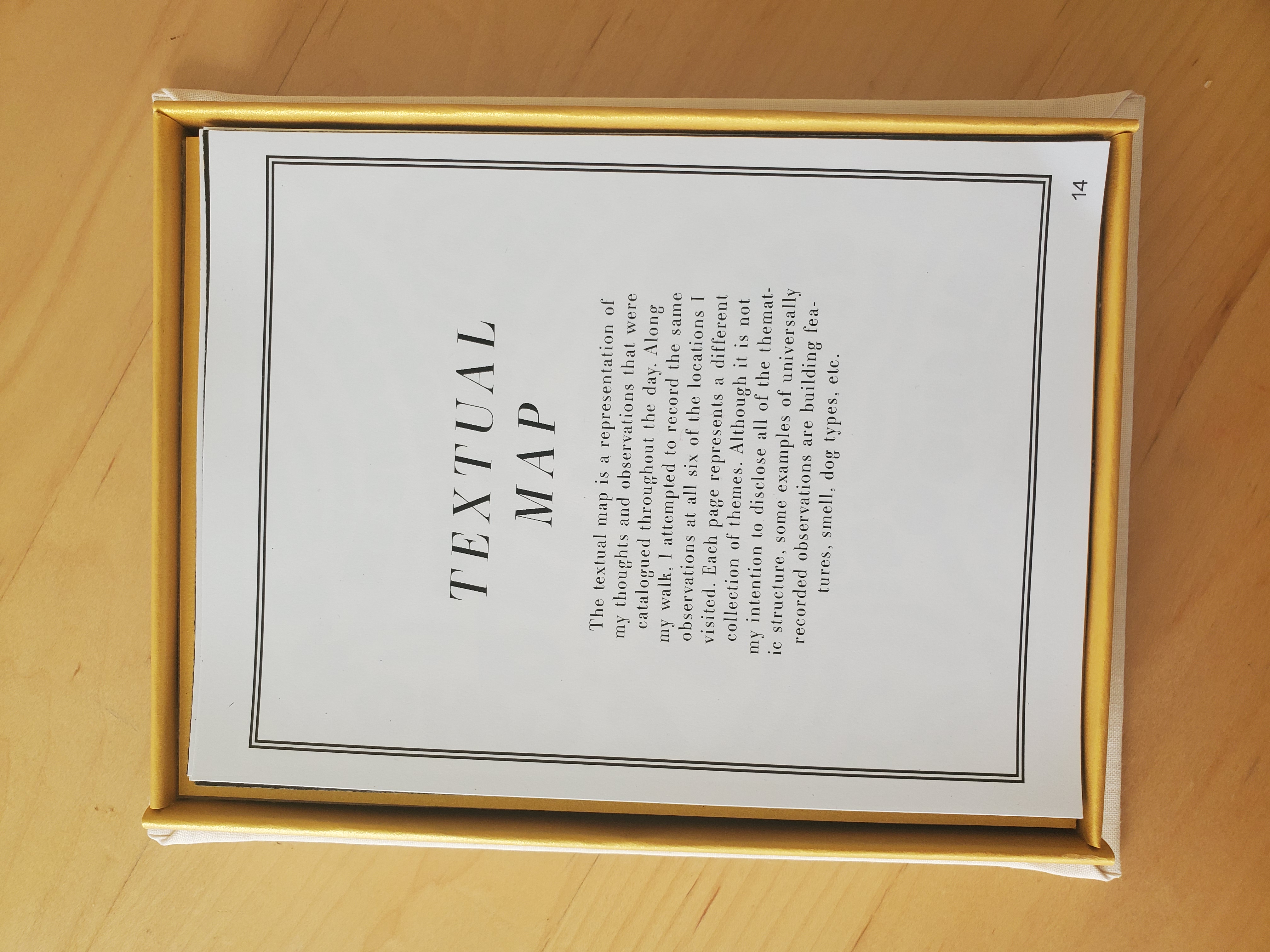
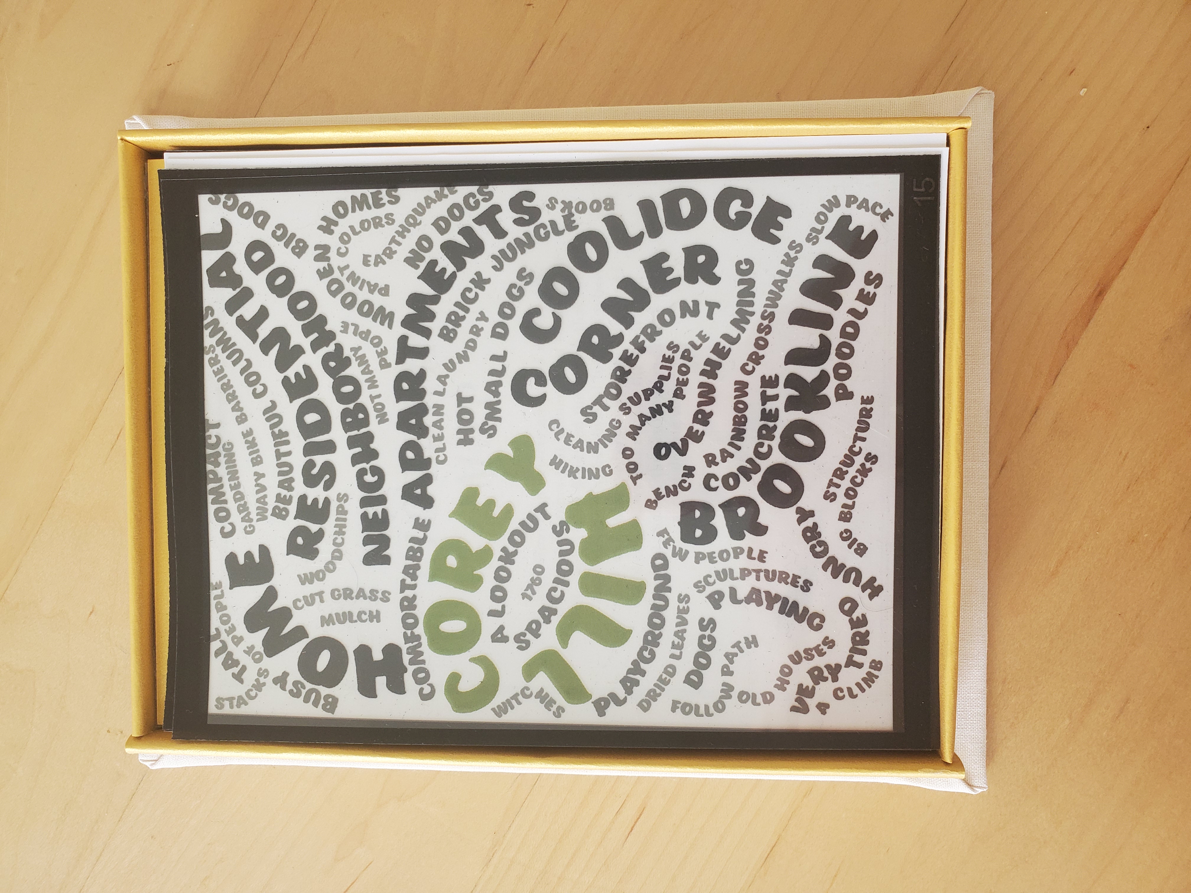
This work was created in response to a prompted walk (Dérive) around an unfamiliar part of Boston. In my case, the goal of this walk was to summit the nearby hill, hopefully making unplanned discoveries along the way. The final product reflects observations recorded over the course of the two hour walk. To highlight the catalytic idea of summiting a hill, I chose a topographic line map as my primary graphic. It then became a template from which I was able to produce and represent more content. Eventually, I was able to distill the information I gathered into three categories, represented by three different maps. The first map is the topographic map, which I evolved from a line drawing to a gradaded image. The second map is a textual map, which utilizes words or phrases from my observations to shape the form of the area my walk was contained in. The third and final map is a pictorial map, which is comprised of my doodles from the walk, and outlines the path I took. These maps were created with the intent that they would be displayed physically, in some form of a book. The end result was a loose-leaf format book enclosed inside a decorative box. The front of the box displays another iteration of the line map. This version of the drawing is stitched into linen and glued to canvas board, outlined in white acrylic paint. The book inside consists of 25 pages. The layers of each map are printed on transparent paper, and the informational pages are plain black text on white paper. My decision to keep the pages loose-leaf was determined by the desire for an element of interactivity in the work. Due to the separation and transparency of the pages, the viewer can reorder or redesign the book to their liking. The goal of this was to create a more personalized experience of the work.